Our last post was about summer colors. Boring. It’s autumn in New England! It’s those happy few weeks when the weather is pleasantly cool and the dazzling yellow, orange, and red trees distract us from thoughts of the dismal season that lies ahead.
Naturally we won’t let the famous New England autumn pass without mapping it somehow. Mapping leaf crunchiness was beyond us (sorry), but we figured we could at least find out something about foliage colors. Where might you find more red leaves, or more yellow leaves? Which areas have the most varied foliage? Tim and I are not experts and can’t predict these things with any certainty, but as trained pseudoscientists we can generate rough ideas and speculations with the best of them.
Easy advice for leaf peeping is to go find a forested area, but we wanted to look locally in the central urban area. Luckily one of the more interesting data sets that local cities and towns often collect is an inventory of street trees. Boston, Brookline, Cambridge, and Somerville have all done this at some point. They are undertaken so that the cities know the types of trees out there, their health, maintenance issues, and so forth. We were interested in the tree species information, an important factor in autumn leaf color.
Availability of data to us regular slobs on the internet is a mixed bag. Brookline seems to offer only a short summary. Boston data do not seem to be available either, but there is one detailed report. Cambridge has individual tree information in its GIS viewer, but the data can’t easily be exported to a useful format. Only from good old Somerville were we able to download a complete set of tree data after noodling with the report GET requests in its viewer (that data is here). Why cities make their geographic data so hard to access and use I don’t know, but that’s a topic for another day.
With data on tree species, we can create an approximate picture of potential autumn colors across space. And I do mean approximate; our methods involved things like searching Google Images for a given tree species and noting the typical autumn color that shows up in photos. (Many other caveats apply, too.) Take Somerville:

That’s a map of something approximating the potential autumn color of every street tree, as gleaned from the aforementioned Google searches. One thing that becomes apparent is that some streets seem predominantly lined with one type of tree and thus have a mostly uniform color on the map. Overall it looks like there may be a bit more color variety in the eastern half of the city than the western. Somervillians, do you think it’s true?
It’s hard to say anything about color variety with as much precision as the Somerville map implies, but there are definitely some local spatial patterns of tree species that may have an effect. We noticed this in neighborhood-level maps of Boston and Cambridge, based on the Urban Forest report for Boston and rough samples for Cambridge. Here, for example, is a comparison of the relative prevalence of the two most common maple species, Norway and Red—maples being a major part of colorful fall foliage.

Leaves of Norway Maples, which overall are the most common of any tree species in Boston (the species is considered invasive, in fact), generally turn yellow in the autumn while those of Red Maples (as the name suggests) are liable to turn red, hence the map colors. Norway maples make up a larger percentage of trees in the outer neighborhoods than elsewhere, while red maples are most prevalent in Cambridge and, for some reason, especially the Fenway-Kenmore neighborhood. So head to the Fenway if you want to see red, I guess. For detailed maps and summaries of Boston’s trees see that report as well as this handy guide to the various species.
Our questionable methods aside, remember that these are only street trees. They can make for some nice autumn scenes, but the real beauty may not be on city streets. Perhaps you’ll find something among the notable trees of the Public Garden indicated in the map below. (See the PDF for the map key. This map from the city looks delightfully old; we’re not convinced that some of these trees are still standing.)

Or take a walk in the Arboretum and other local wooded places. (Personal recommendation: Mount Auburn Cemetery.) Or get out of town! Just look how much forested land there is nearby. The map below does not even extend as far as 495. Click it for bigness.

Hit the trails and let us know where the best colors are.
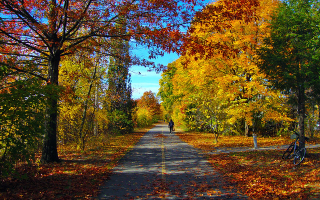
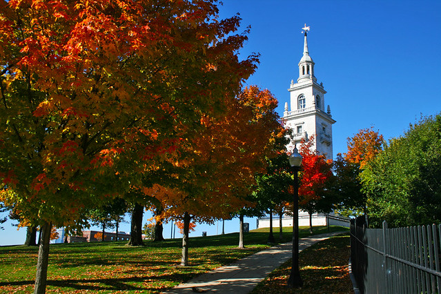
Minuteman Bikeway, Arlington
This is a really cool idea, to map out where to see foliage without leaving the city. In general, the non-natives have much less impressive displays than the natives. Norways often go straight from green to brown, skipping the yellow entirely.
A map of native tree cover would be really amazing to see, too!
I wish you could include my hometown (Brookline). The exclusion leaves a really awkward hole in the map. It’s ridiculous that an agency would invest the resources into conducting an inventory without making the data easily available to the public.
Thanks for your insights on natives versus not. I’m pretty ignorant of that kind of thing, and it definitely would be interesting to see a map of native tree cover.
I’ll admit that Brookline was a bit of an afterthought for me, but then the searching I did didn’t turn up much useful data anyway. And it’s such a leafy town! Hopefully cities and towns will eventually get into the open data game (like San Francisco has done), but at the moment it doesn’t seem like anyone is even thinking about how the public could find city data useful.
Love it!
Thanks for the link to the Urban Forest Report. I wonder if the same kind of data is available for Revere? If the leaves along Boulevard survive tomorrows rain I will send you a few pictures from the beach.
Pingback: Giá trị kinh tế của cây xanh « Đường Về Nhà
Pingback: Visualizing Cambridge Chicago’s Data with jQuery and Google Maps + Charts + Refine + Fusion Tables | simple mind