No, not a thoughtful post about the geography of food in Boston. It’s more the other way around.
First, we’ve all seen the vegetable Boston from Jen of Tiny Urban Kitchen, right? It’s possibly the best thing ever.
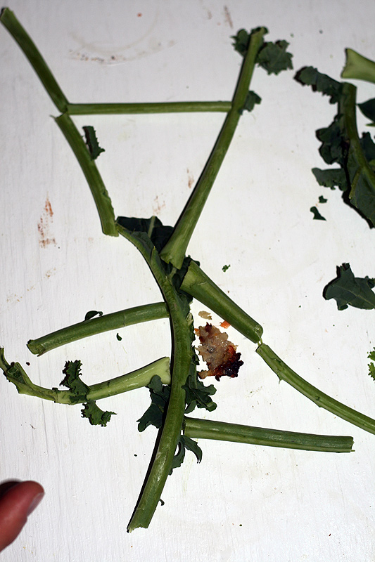
Second, when you need to draw a quick map of Harvard Square but have no pencil and paper handy, what do you do? Why, you use nearby bits of kale, of course. Thanks to my friend Sean for this improvisation. He also used a piece of a potato pancake to represent whatever he was pointing out.

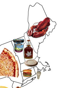
Third, let’s peek at this Food By State map that was making the rounds among cartography blogs recently. Massachusetts gets clam chowder, which seems fine. Another choice, though perhaps less statewide and certainly not modern, might have been baked beans. “Beantown” is a pretty unpleasant nickname so it’s better not to encourage it, but it does have an interesting geographical origin, involving triangular trade and what would become one of Boston’s more deadly sweeteners, molasses.
