tl;dr — don’t park anywhere
Map and data enthusiasts on the north bank of the Charles, there are two things you should know:
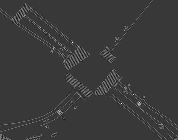
1. City of Cambridge GIS data, for a long time only available on a shiny disk for a fee, has in the past year or so made its way into the free and open world. Get into it at the Cambridge GIS GitHub page. There are some delightful layers, such as the house favorite: every pavement marking that’s painted on the streets.

2. Cambridge, much like Boston, now has a fantastic open data site with all kinds of fun things, from census data to rodent infestations.
One data set to dive into is three months’ worth of parking tickets issued by the city, from January 1 to March 31, 2014. Here, just look at this animated sequence of the 72,000 tickets thanks to CartoDB. (Give it a moment if you see conspicuously missing large chunks of the city. And ignore the number at the bottom; it only represents frames of the animation.)
That’s 800 tickets every day, on average. And they happen almost everywhere, especially at parking meters. So be careful if you park in Cambridge, especially across the street from the Harvard Square post office—where you’ll find the two most-ticketed individual parking spaces.
Go forth and map… and feed the meter!